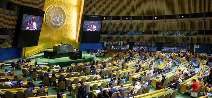
- UN resolution adoption: The General Assembly voted 164 to 1 to phase out the Mercator map projection in favor of equal-area alternatives like the Equal Earth design.
- Correcting geographic scale: The African-led initiative addresses centuries of cartographic distortion that visually shrank equatorial landmasses, making Africa appear roughly the same size as Greenland despite being fourteen times larger.
- Global implementation: Educational ministries and digital mapping providers are beginning transitions, with UNESCO and the African Union organizing a standardization summit in Lomé for early 2027.
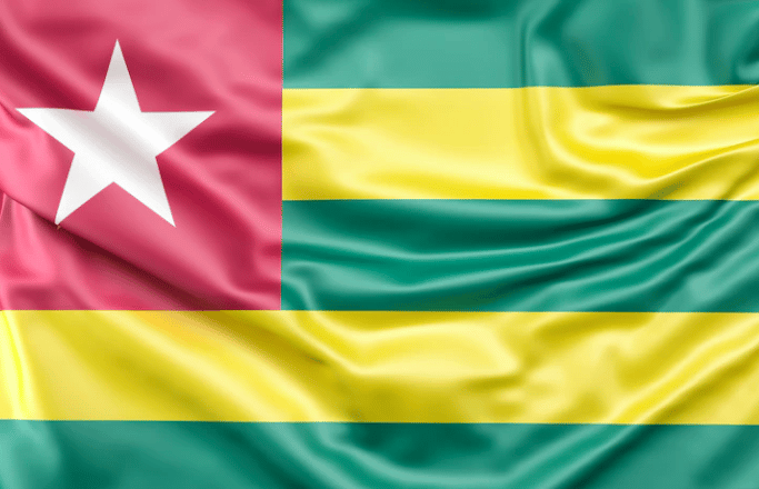
New York, United States — September 5, 2026 — The United Nations General Assembly officially adopted a resolution on September 4, 2026, encouraging global institutions to phase out the traditional 16th-century Mercator map projection. Sponsored by Togo on behalf of the African Group, the initiative passed with 164 member states voting in favour. The landmark vote targets cartographic distortions that have long depicted Africa as roughly equal in size to Greenland, despite the African continent being fourteen times larger.
The resolution promotes the use of equal-area alternatives, specifically the 2018 Equal Earth design, which preserves the true relative surface areas of global landmasses. While the decision is non-binding and does not alter maritime navigation standards or international borders, it marks a significant ideological shift in educational resources, digital mapping interfaces, and public institutional frameworks across international jurisdictions.
Challenging Legacy Biases in Global Education
For generations, classrooms worldwide relied on Gerardus Mercator's 1569 projection, designed primarily to assist European maritime navigation by plotting straight bearing lines. However, flattening a three-dimensional globe stretches high-latitude regions while shrinking equatorial landmasses. Critics and educational advocates argue that this visual inflation of northern territories has subtly reinforced outdated geopolitical hierarchies and colonial-era cognitive biases.
Regional curriculum designers and policy analysts in Accra and Lagos note that correcting classroom atlases directly influences how young learners perceive economic potential and geographic scale. Removing persistent cartographic errors establishes a balanced foundation for global trade discussions, international development planning, and cross-border academic research across developing economies.
Diplomatic Momentum and Institutional Rollout
Togolese Foreign Minister Robert Dussey spearheaded the diplomatic campaign, emphasizing that equitable cartography is a fundamental step toward global narrative transparency. The move received swift backing from various international partners, with France announcing immediate steps to align its official ministerial mapping practices with equal-area standards. Conversely, the United States cast the sole opposing vote, characterizing the debate as an unnecessary diversion from contemporary geopolitical crises.
Implementation planning is already underway as regional bodies coordinate with digital cartography providers. UNESCO and the African Union are organizing a specialized summit in Lomé during the first quarter of 2027 to engage tech companies, software developers, and publishing houses regarding digital map standardization.
Next Phase Implementation and Compliance Schedules
As educational ministries evaluate textbook inventories, geographic data providers face growing calls to update default digital views. Institutional transition timelines vary by country, depending on local curriculum revision cycles and cartographic software updates.
The upcoming UNESCO and African Union cartographic implementation conference in Lomé is officially scheduled to commence in the first quarter of 2027.
What drove the UN resolution to adopt an equal-area world map?
The UN resolution was driven by an African-led campaign spearheaded by Togo to correct centuries of cartographic distortion caused by the Mercator projection. The vote establishes institutional support for equal-area maps that accurately reflect Africa's true scale relative to northern territories like Greenland.
The upcoming UNESCO and African Union cartographic implementation conference in Lomé is officially scheduled to commence in the first quarter of 2027.