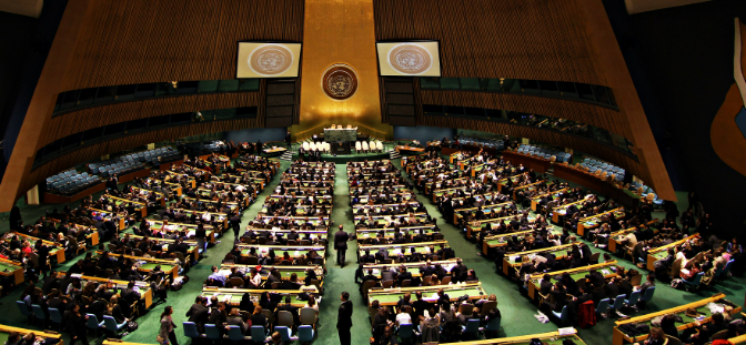
New York, USA — September 5, 2026 — The United Nations General Assembly overwhelmingly adopted the 'Correct the Map' resolution on Friday, September 4, 2026, endorsing a shift toward world maps that reflect countries' true relative sizes. Spearheaded by Togo on behalf of the African Union, the historic initiative passed with 164 member states voting in favor, six abstentions, and only the United States voting against it.
The resolution aims to phase out the heavy reliance on the 16th-century Mercator projection, which critics argue has long resulted in the 'symbolic minimization' of Africa, Latin America, and South Asia. By promoting equal-area alternatives such as the 2018 Equal Earth projection, the UN seeks to foster a more equitable and accurate visual representation of the globe's landmasses.
Cartographic History and Equatorial Distortion Realities
Created by Flemish cartographer Gerardus Mercator in 1569, the traditional map projection was built primarily to assist marine navigation by preserving constant compass bearings. However, stretching lines of latitude toward the poles severely distorts landmass proportions.
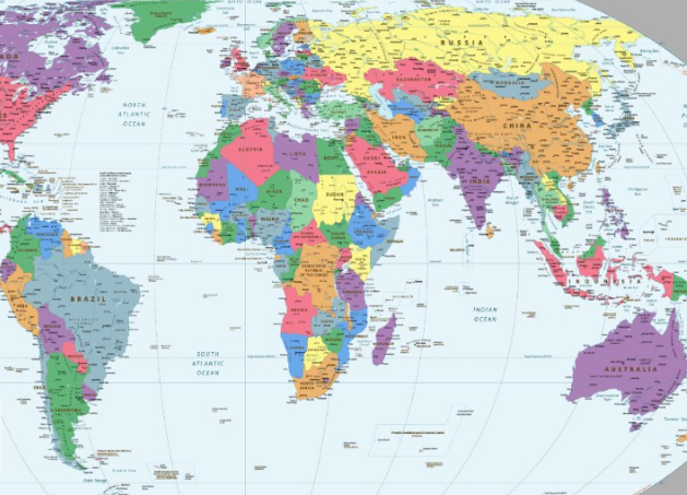
Under the Mercator model, regions near the equator appear drastically smaller than landmasses in northern latitudes. For instance, Africa is visually represented as roughly the same size as Greenland, even though the continent is actually fourteen times larger than the Danish territory.
Educational and Geopolitical Implications for Africa
Regional analysts and educators across West Africa welcomed the decision, noting that school textbooks and digital platforms have long reinforced Eurocentric cognitive biases. Correcting these visual imbalances directly impacts how infrastructure needs, development potential, and economic prosperity are perceived globally.
Academic institutions and publishing houses across Lagos and Accra face mounting pressure to update geography curriculums and mapping software. Transitioning to proportional projections helps dismantle long-standing geopolitical stereotypes tied to cartographic design.
Global Institutional Shifts and Digital Adoption
While UN resolutions remain non-binding and do not legally penalize continued use of the Mercator layout, major international bodies are beginning to adjust their standards. Specialized agencies like UNESCO and the UN Development Programme are tasked with encouraging equal-area mapping standards.
Digital cartography firms and GIS specialists across international markets are already evaluating interface updates for web applications and navigation tools. Institutional compliance guidelines and curriculum adjustments are slated for review by December 2026.
What drove the United Nations to adopt the new world map resolution?
The United Nations adopted the new world map resolution because African member states led the 'Correct the Map' campaign to address centuries of cartographic distortion under the Mercator projection, which visually minimized the true scale of Africa, Latin America, and South Asia in global education and media.
Official implementation guidelines from UN specialized agencies regarding map standards are expected by December 15, 2026.